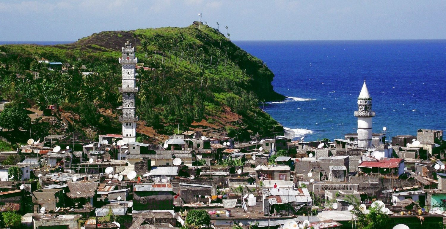
Republic of Comoros
Comoros is located in the Indian Ocean, between the shores of Tanzania, Mozambique, and Madagascar. It is an archipelago consisting of four islands off the coast of East Africa, three of which are independent islands belonging to the Republic of Comoros.
Moroni is its official capital. As for the fourth island, it is the island of Mayotte, which is under the administration of France. The cultural heritage of the people of the Republic of Comoros comes from the continent of Africa, the Middle East, and the continent of Europe, and most of the people are Muslims with a percentage of up to 98% of the total population.
Flag of the Republic of Comoros
The Republic of Comoros adopted the final shape of its flag in 1993 AD, which consists of four horizontal stripes represented by the colors: yellow, white, red, and blue respectively, and a green triangle shape to the left of the flag connected to the horizontal stripes and contains inside it four stars and a white crescent.
The four bars and the four stars are the main islands of the Republic: Mohéli Island, Grande Comore Island, Anjouan Island, and Mayotte. The green color and the star and crescent symbol are traditional symbols of the Islamic religion.
Climate of Comoros
Comoros has a tropical climate; The average annual temperature in the coastal areas is about 25-26 °C, with a slight difference with the altitude per 100 m by about 0.6-0.7 °C, and the annual rainfall in the coastal areas is 1,000 mm, and the rate of precipitation increases in high areas, and it can be described The climate during the months from November to April is described as a hot climate with continuous rainfall. During the months from May to October, the climate is described as dry and cold. Every 10 years, Comoros is exposed to severe hurricanes that cause serious damage.
Landforms of the Republic of Comoros
Spread on the coast of the Comoros sand vast coconut trees India and trees coastal grove, and formed some coasts of round rocks, and some of the other flows of lava, and the origin of the form of Comoros activity volcano that has occurred in the Indian Ocean seabed, and shows the following information on each island of the islands The four components of the Republic of Comoros:
- Grand Comore Island: It is the largest island in the archipelago, and is located along its western coast, the capital, Moroni. The island is the highest among the four islands, and near its southern end, there is the highest point in Comoros, represented by Mount Karthala, with a height of 2,361 meters, which is a volcano. It has exploded more than 12 times during the past two centuries, and to the north of the mountain extends a wide plateau with a height of up to 600 meters. The land of Grand Comore is generally described as rocky and its soil is shallow, and one of its most famous cities is the city of Mitsamiouli, located on the northern coast.
- Moheli Island: It is the smallest island in the archipelago, and it consists mainly of a plateau with an average height of 300 meters and extends in the western part of it a series of hills with a height of up to 790 meters above sea level. Among the most famous of its cities is Fomboni, located on the northern coast, and Niomachoa, located on the southwest of the island.
- Anjouan Island: This island is characterized by its triangular shape, and in the middle rises Mount Ningwe with a height of up to 1,580 m, which is a volcanic massif. Mutsamudo is located on the northwest coast.
- Mayotte: It is the oldest island in the archipelago, located southeast of the island of Anjouan, and it is still under French administration
